Project Overview
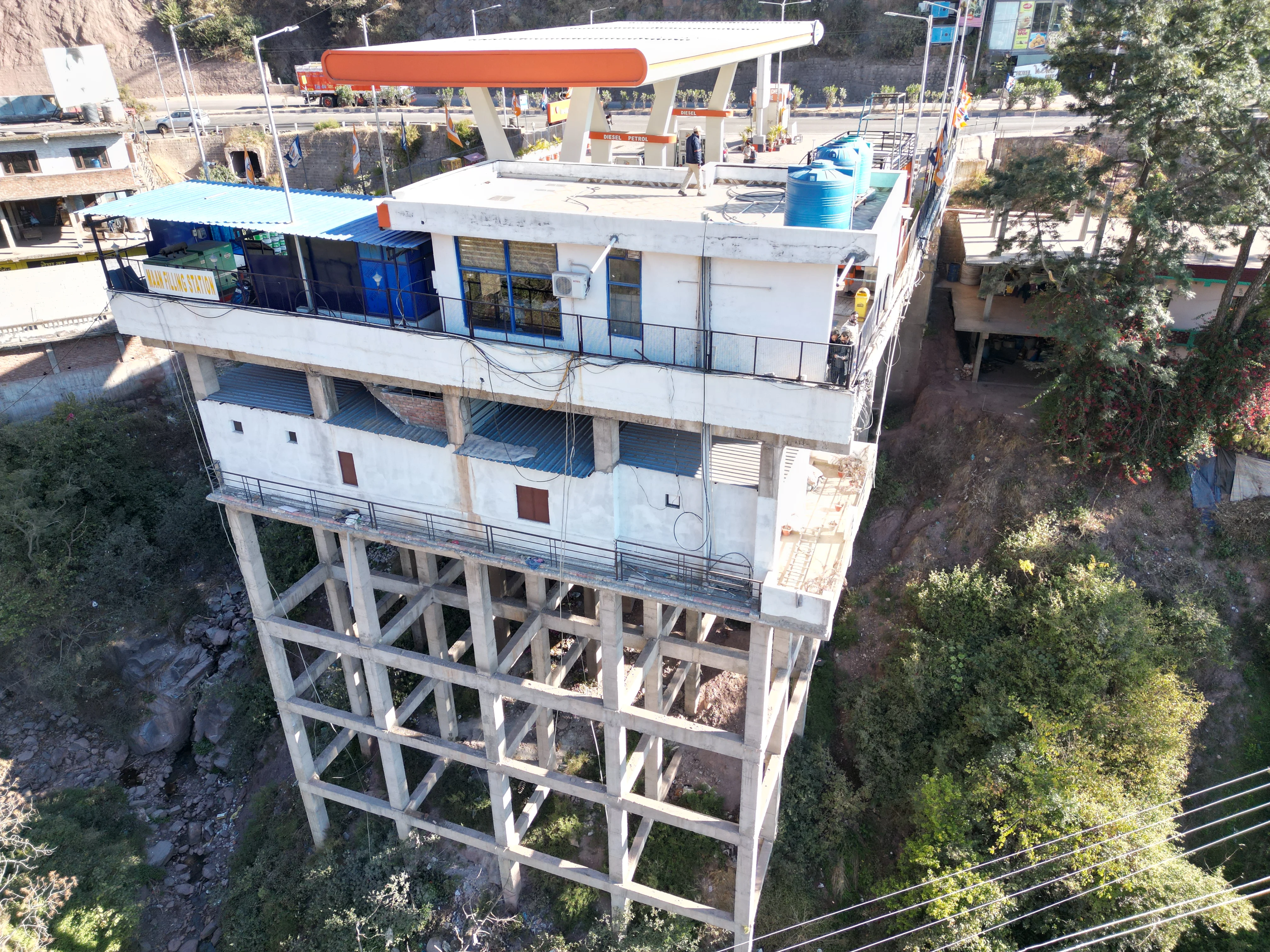
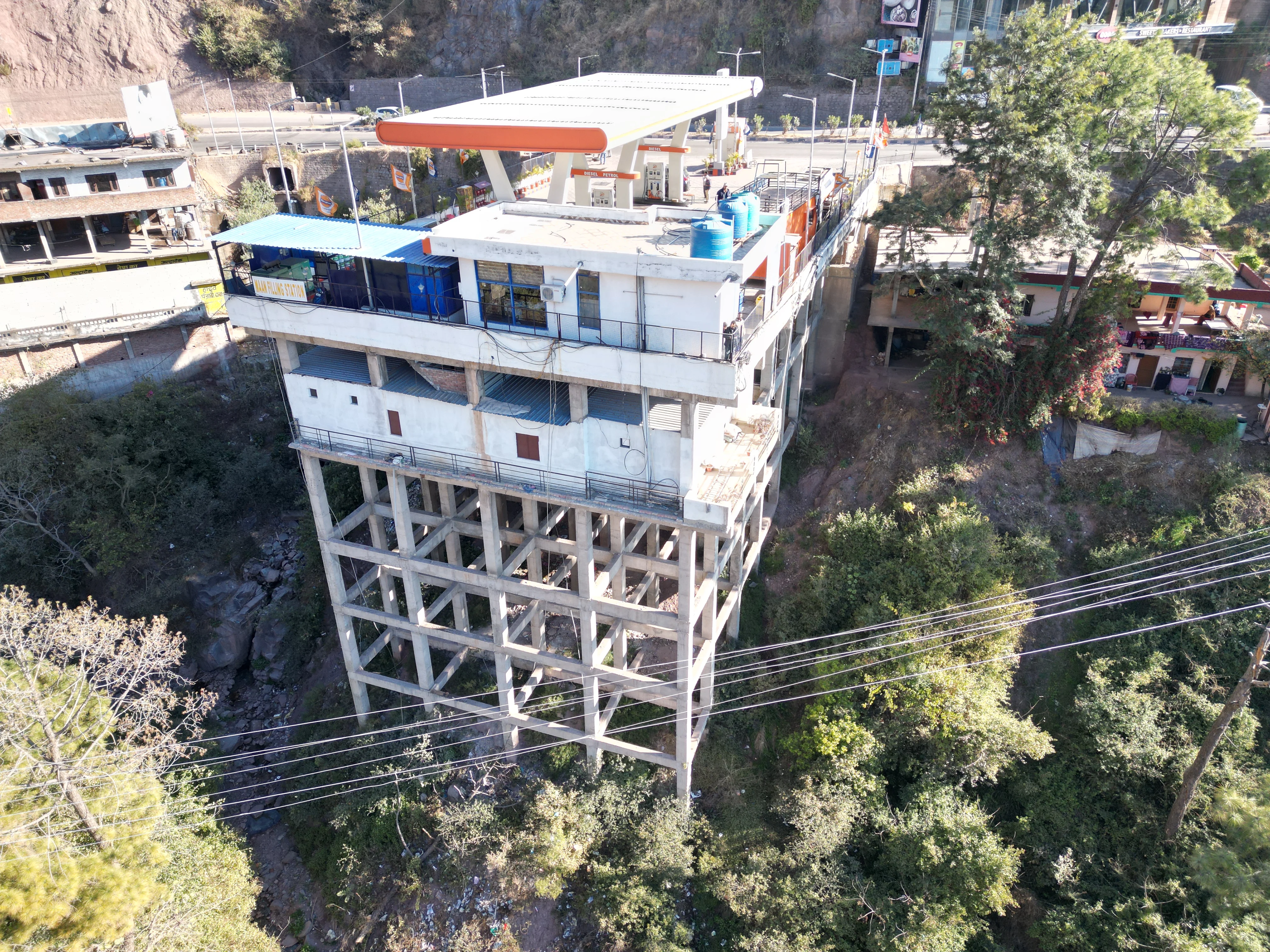
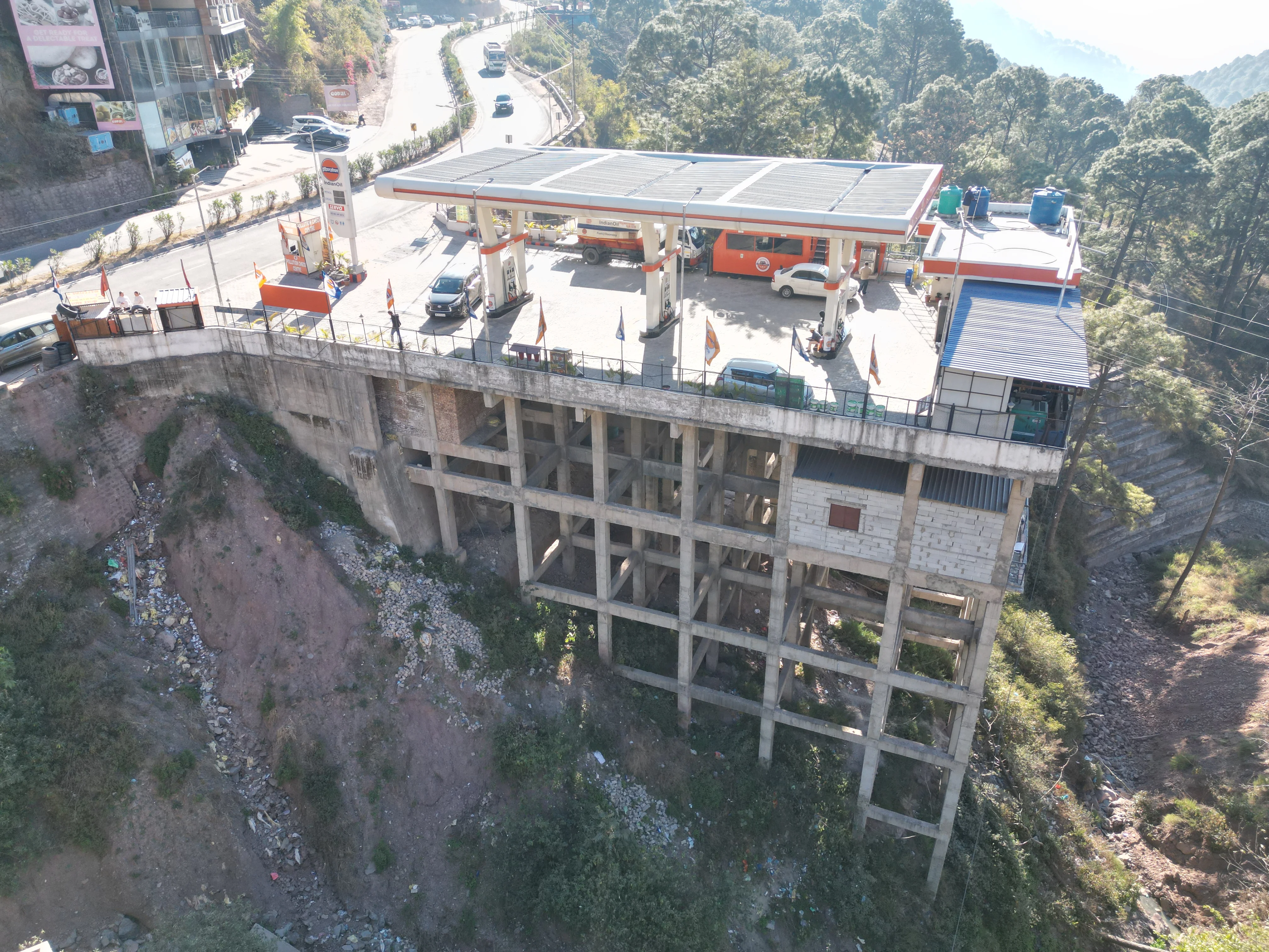
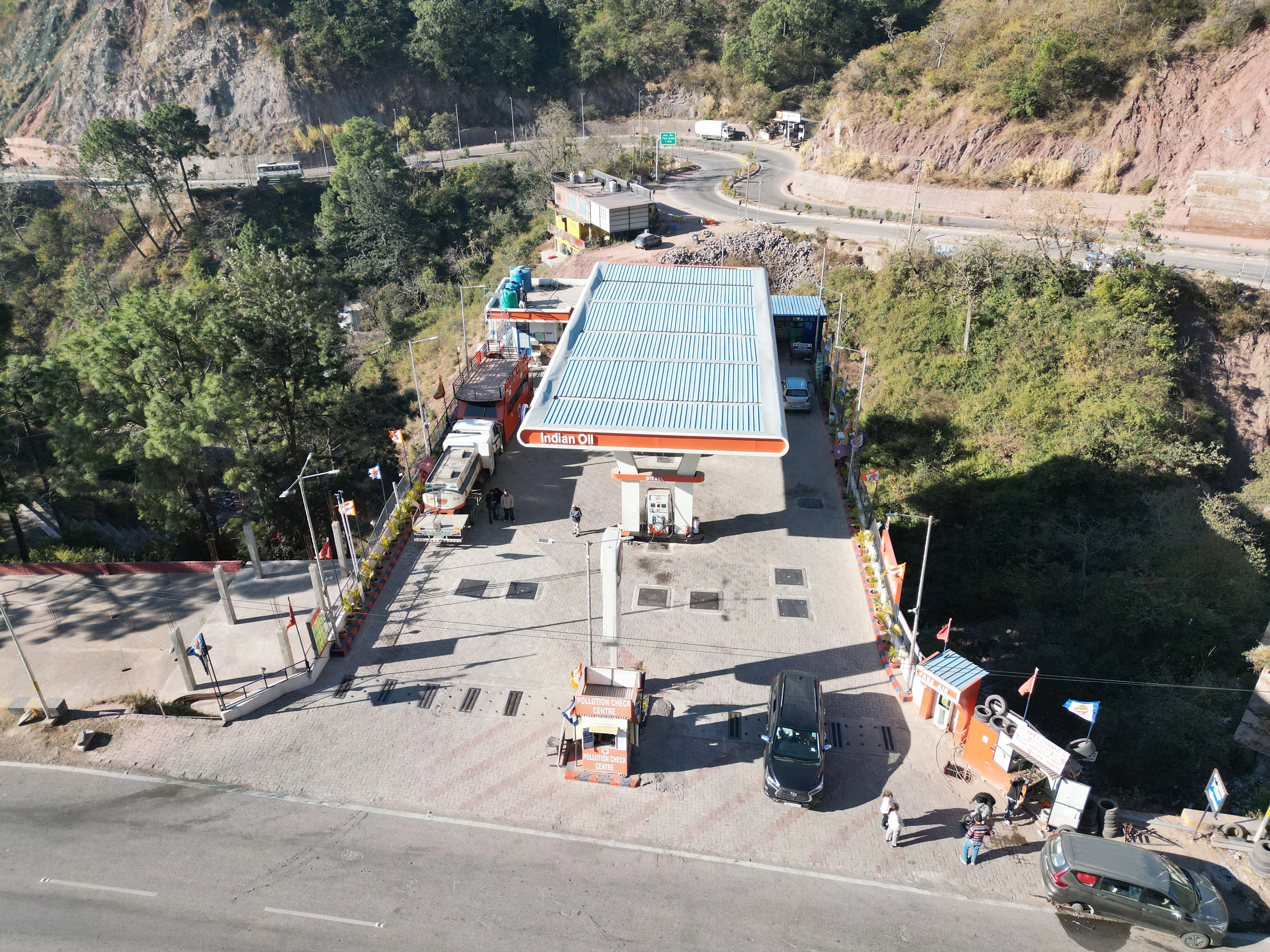
A multi-level hillside fuel station along NH-05 at Mando Matkanda, Kasauli.
Mann Filling Station (IOCL)
Project details
Multi-level site planning with safe highway access.
A steep slope turned into a working fuel station, with levels, access and forecourt planned together so the whole site works smoothly.
- Project name Mann Filling Station (IOCL)
- Location Mando Matkanda, Kasauli, Solan, Himachal Pradesh
- Category Fuel Station / Retail Outlet
01 - Project Description
A challenging hillside fuel station developed along NH-05 with multi-level site planning, safe highway access, efficient forecourt layout, and optimum utilization of steep terrain.
Surveying
Accurate survey of the steep Mando Matkanda site to guide levels, layout and highway access.
Planning & Designing
Multi-level site planning with an efficient forecourt layout and optimum use of the steep terrain.
Site Development
Development of the stepped site into usable levels for the forecourt, access and station facilities.
Access Permission from NHAI
Safe highway access along NH-05, designed to requirements and backed by the permission for the site.
A closer look at the project
02 - Challenge & Approach
Working with the slope, not against it.
The Challenge
To develop a fuel station on steep hillside terrain along NH-05, with safe highway access, an efficient forecourt layout and optimum use of the site across multiple levels.
Our Approach
We planned the levels, the access and the forecourt as one connected system.
- Multi-level site planning that follows the terrain
- Safe highway access planned along NH-05
- Efficient forecourt layout with optimum site utilization
03 - How we delivered it
From survey to a working station.
-
1
Site Survey
Surveying the steep Mando Matkanda site to understand levels, slopes and highway frontage.
-
2
Planning & Design
Planning a multi-level layout with a safe access and an efficient forecourt.
-
3
Site Development
Developing the steep terrain into usable levels for the station.
-
4
NHAI Access Permission
Preparing and following up the highway access permission from NHAI.
-
5
Final Review & Handover
Final checks and handover of the approved design.
More of what we do
Planning a fuel station on a steep site?
Let's talk about a multi-level layout and a smooth highway access permission for your site.
Get in touch