Project Overview
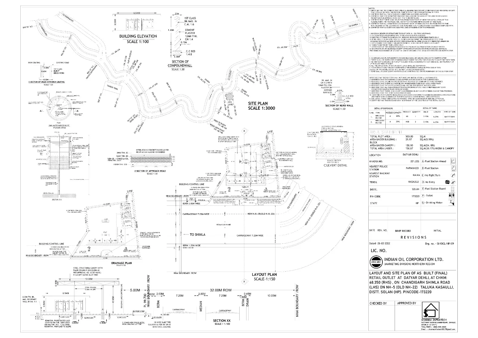
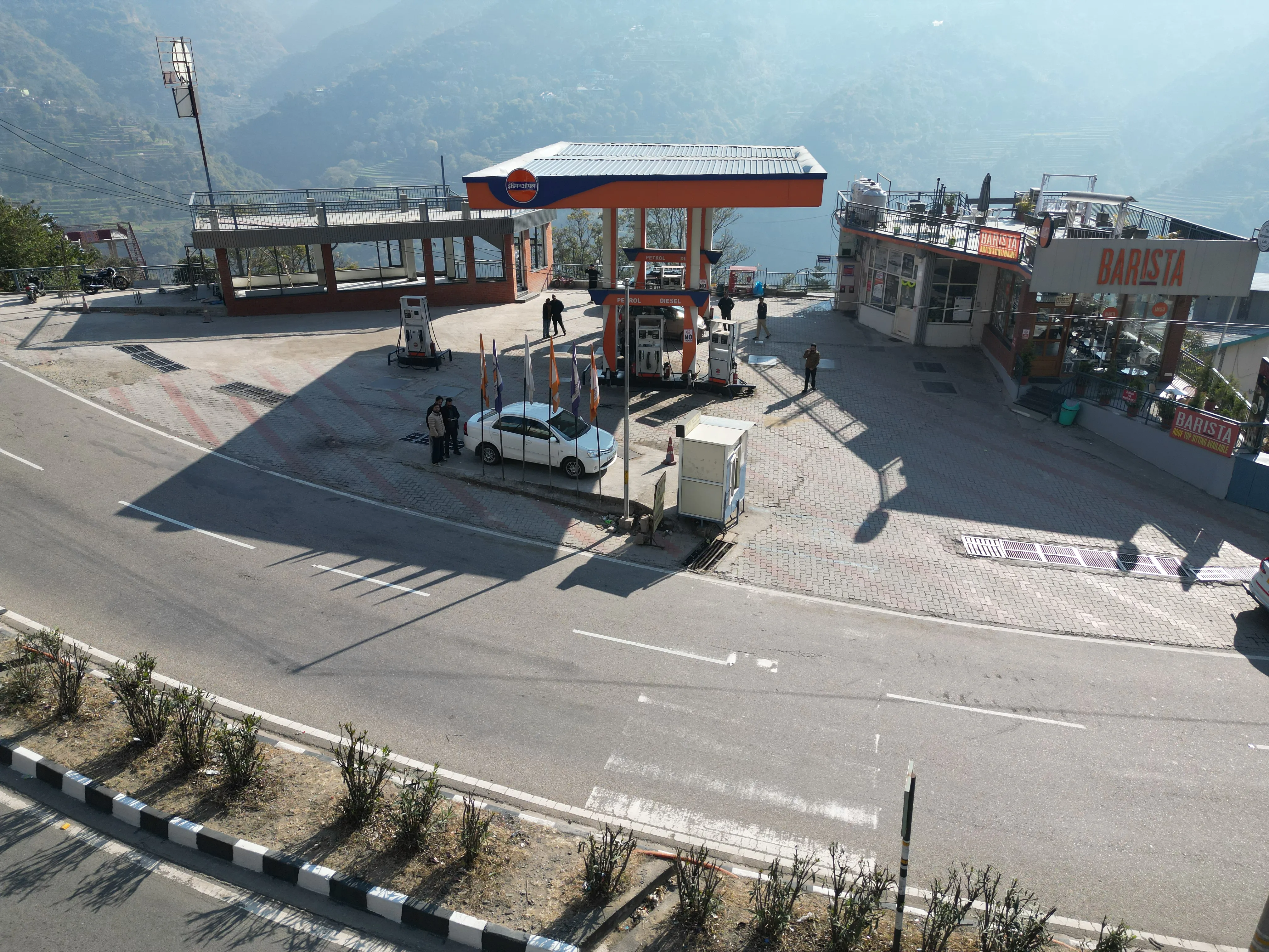
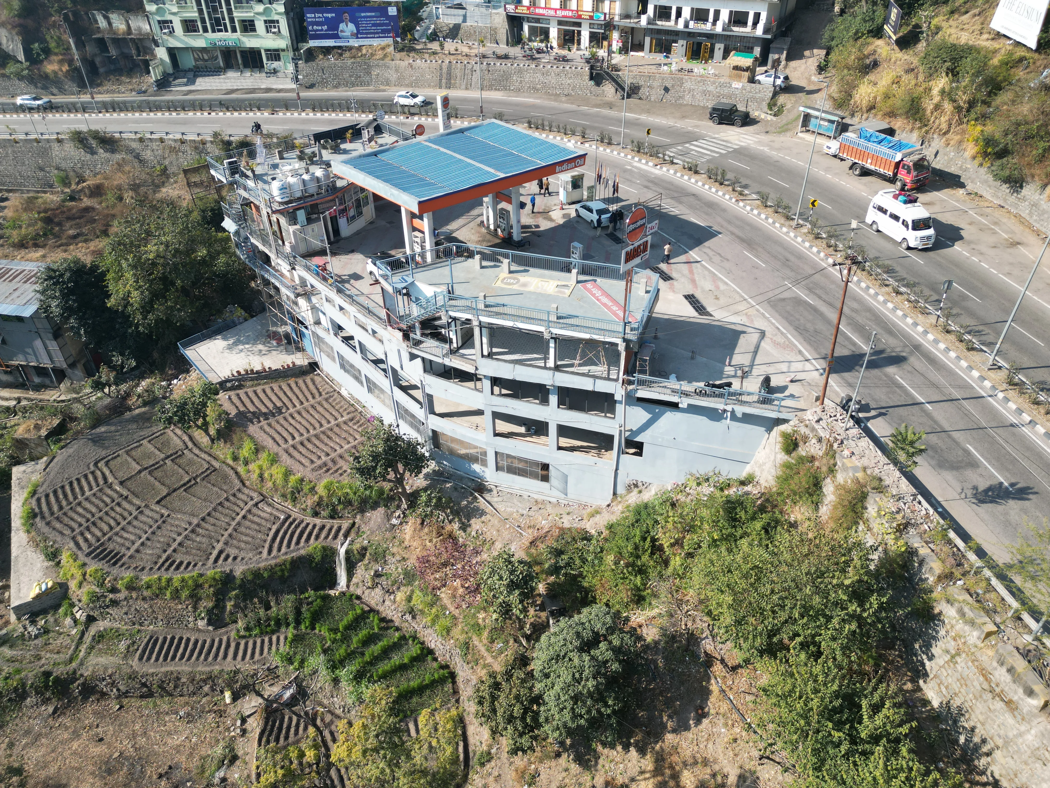
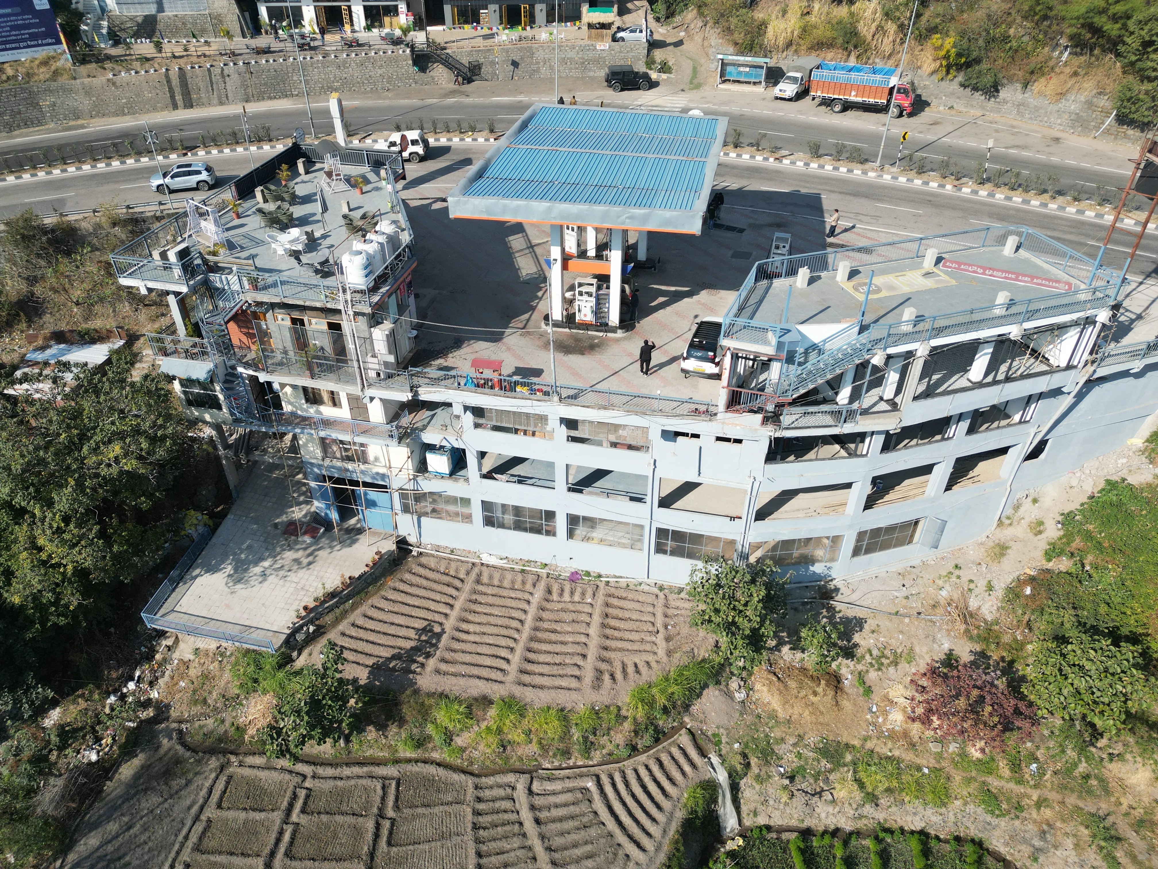
A hillside fuel station on the Shimla–Chandigarh highway at Datyar, Kasauli.
Super Drive Filling Station (IOCL)
Project details
Safe vehicular movement and efficient use of a terrain-responsive site.
A hillside fuel station along the Shimla–Chandigarh highway, planned around the terrain and safe vehicular movement.
- Project name Super Drive Filling Station (IOCL)
- Location Datyar, Kasauli, Himachal Pradesh
- Category Fuel Station / Retail Outlet
01 - Project Description
A hillside fuel station planned along the Shimla–Chandigarh highway, focusing on safe vehicular movement, efficient site utilization, smooth access, terrain-responsive planning, and coordination for access permission from NHAI.
Surveying & Planning
Surveying the hillside site and planning for safe vehicular movement and smooth access.
Site Development
Terrain-responsive site development for efficient use of the Datyar site.
Access Permission
Coordination for access permission from NHAI along the Shimla–Chandigarh highway.
A closer look at the project
02 - Goal & Approach
Building on a hillside along the highway.
The Goal
A hillside fuel station on the Shimla–Chandigarh highway with safe vehicular movement, smooth access and efficient use of the site.
Our Approach
Let the terrain guide the layout, and plan movement and access around it.
- Terrain-responsive planning for efficient site utilization
- Safe vehicular movement and smooth access
- Coordination for access permission from NHAI
03 - How we delivered it
From the survey to safe access.
-
1
Surveying
Surveying the hillside site at Datyar.
-
2
Planning & Designing
Planning for safe vehicular movement and smooth access.
-
3
Terrain-Responsive Planning
Fitting the layout to the hillside terrain.
-
4
Site Development
Developing the site for efficient site utilization.
-
5
Access Permission from NHAI
Coordinating access permission from NHAI.
More of what we do
Planning a fuel station on the highway?
Let's talk about site planning, development and NHAI access permission for your outlet.
Get in touch